PLANNING AND
RESILIENCE
Hazard Planning and Resilience
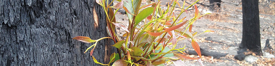
CeRDI is working alongside state-wide and regional emergency planning organisations, environmental management groups, local government, and with communities to implement initiatives to respond appropriately to emergencies and improve responses to mitigate the impacts of natural hazards and emergencies. Innovative technologies, spatial mapping, and eResearch tools are enabling new, more responsive and appropriate methods for planning and responding. Research has also been conducted by CeRDI that informs resilience building in communities affected by natural disaster and emergencies.
Glenelg Hopkins Flood Portal
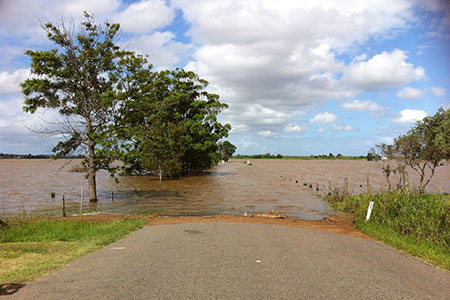
The Glenelg Hopkins CMA (Catchment Management Authority) Flood Portal was developed to assist landholders in both residential and rural areas of the catchment in seeking advice around whether their property floods during flooding events.
Growing Southern Gippsland
Growing Southern Gippsland has been designed to encourage southern Gippsland landholders to identify and target their own climate change knowledge gap needs as they journey through the portal.
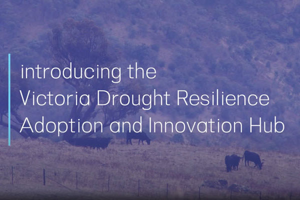
The Victoria Drought Resilience Adoption and Innovation Hub
The Victoria Drought Resilience Adoption and Innovation Hub commenced operations in 2021. The vision for the hub is for an innovative and profitable Victorian agriculture sector with sustainable landscapes, and resourceful and adaptable regional communities. Through the hub, farm businesses will be better informed, more productive, and more profitable when future droughts occur.
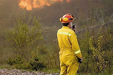
Victorian Fire Risk Register - Bushfire
Using knowledge management and spatial technologies, CeRDI, in collaboration with the Victorian Country Fire Authority, has developed the Victorian Fire Risk Register - Bushfire, a web-based service which maps assets at risk from bushfires. The register is used to support the development of Municipal Fire Management Plans.
Centre for New Energy Technologies (C4NET): Energy Data Roadmap
In 2019, Federation University’s School of Engineering, Information Technology and Physical Sciences and CeRDI completed the Energy Data Roadmap. The project aimed to better understand the availability of energy data (consumption data) in Victoria. The project was funded by the Centre for New Energy Technologies (C4NET).
How Well Are We Adapting Portal
CeRDI, in collaboration with the member Councils of the Western Alliance for Greenhouse Action in Melbourne’s west, has recently developed the How Well Are We Adapting portal. How Well Are We Adapting is a web-based tool to assist the Councils to implement the framework for monitoring, evaluation and reporting on climate adaptation. The portal is assisting to build the capacity of the council and community to respond to and manage municipal climate impacts.
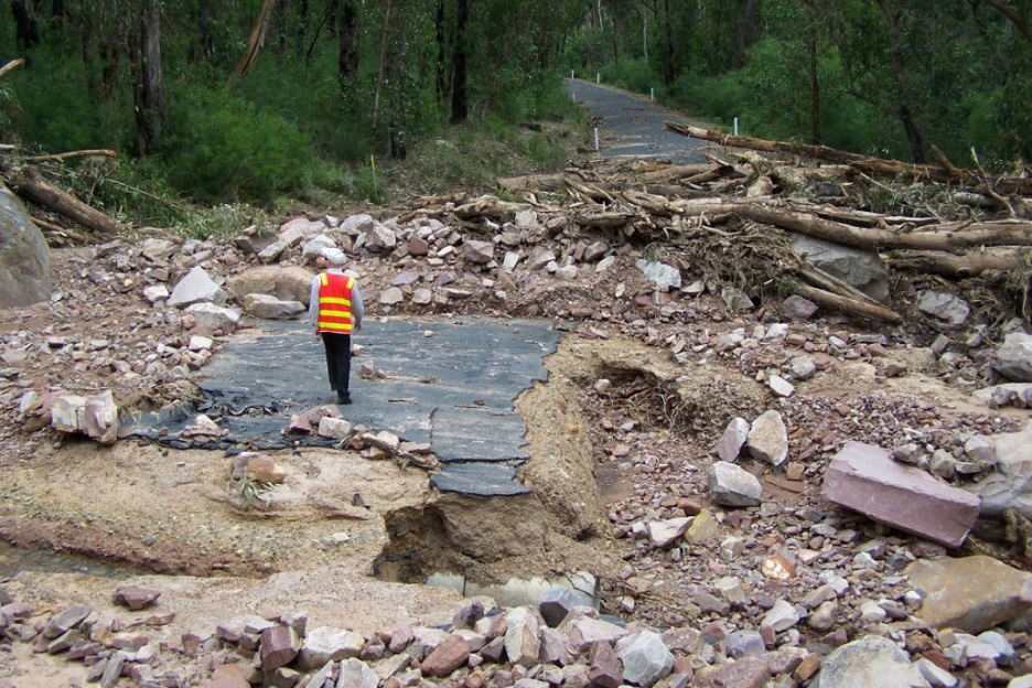
Measuring the Economic, Environmental and Social Impacts of Landslides and Floods in the Grampians Region
The social, economic and environmental impacts of the 2011 landslides and floods in and around the Grampians National Park in Victoria were investigated, with a particular emphasis on risk and resilience, from the perspectives of emergency services.
Our Coast
The Our Coast website provides information to local government and communities in the Bellarine Peninsula and Geelong areas about planning for a changing climate and the potential local environmental impacts such as rising sea levels, storm surges and coastal erosion.
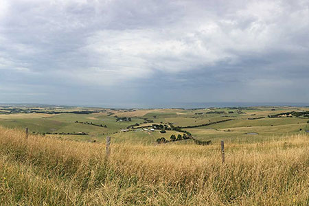
South West Climate Change Portal
The South West Climate Change Portal provides tools, maps and visualisations to enable stakeholders to understand and plan for climate change in the south-west region of Victoria. It represents a collaboration between Corangamite and Glenelg Hopkins Catchment Management Authorities, and the councils of the Great South Coast (under the Climate Resilient Communities of the Barwon South West project), in partnership with CeRDI.
Southern Gippsland Agricultural Climate Resilience Project - Impact Research Study
An extensive impact research study reporting on the Southern Gippsland Agricultural Climate Resilience Project (ACRP) has recently been completed by CeRDI researchers. This research was undertaken to examine the outcomes from a two year project implemented to support climate change adaptation across food producers in the Southern Gippsland region.