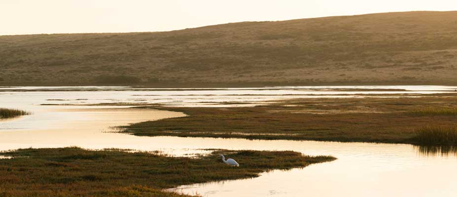


Improving water security for farms and lakes in the northern Lake Corangamite area
Research is being undertaken to improve farm water security and farm resilience in response to climate change in the Lake Corangamite area.
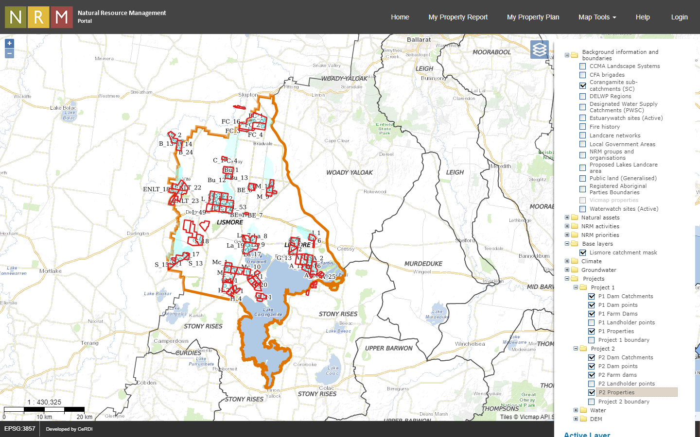 |
| A website has been established as a resource for the landholders to use as a planning tool for the future https://nrmp.ccmaknowledgebase.vic.gov.au/nrmpp_map.php?view=26452_f407abe&map=59 |
Background
In recent decades, the geographical region for this project has experienced declining surface water runoff and water table levels. While various causes have been attributed to these trends, reduced rainfall is considered the major contributing factor. Since climate change models predict further declines in rainfall, managing water resources and balancing competing needs for farm water supplies and the water requirements of the lakes, which has high environmental value, is a priority.
CeRDI partnered with the Cundare-Duverney Landcare and Leslie Manor Landcare groups on this project with the aim of increasing knowledge of water resources and to improve farm water security for landholders and farmers in the northern Lake Corangamite area of the Victorian Western Plains.
Outcomes
The project established a data and information base to inform the following project objectives:
- Determine current farm water requirements for stock water supply, cropping activities, house and garden, and other uses;
- Identify and evaluate sources of farm water supply, regarding quantity, quality, and reliability;
- Determine interactions between groundwater systems and surface water and lakes using information from water quality analysis;
- Develop farm water plans to improve security of supply and demonstrate best farm water management practices.
Technical Features
A high-resolution terrain model has been constructed for the region, and from this, drainage lines, sub catchments and surface water flow directions have been modelled. These were used to estimate the rainfall runoff into farm dams, using modelling. The volume calculations for the farm dams identified in aerial imagery has been undertaken as part of this work.
Access to data about groundwater systems for the district has been sourced from existing work complemented by groundwater information collected from the landholders’ bores. This provides valuable information about how the groundwater flows and water levels contribute to the lakes at different periods of the year, enabling changes in climate to be mapped across years.
Climate surfaces for precipitation, evaporation and temperatures have been sourced for the project from the latest CSIRO modelling. Season predictions are available for a 30-year period through to 2104.
Approach
Ten landholders in the Cundare-Duverney and Leslie Manor Landcare areas are participating in the project. Each landholder completes an inventory of water use for their property. This data provides a benchmark of current water requirements in the district and will be used to generate an approximate water balance.
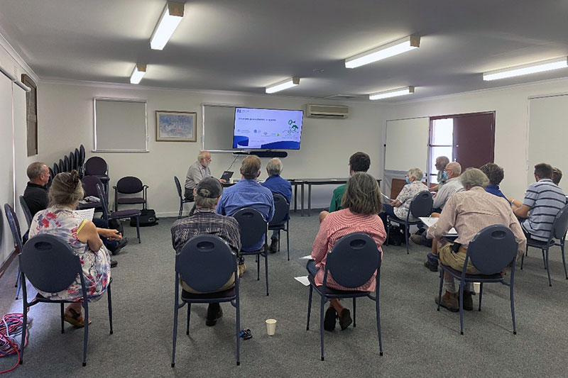 |
| Peter Dahlhaus presenting at a project workshop |
-

RESEARCH OUTPUT
The data processing for the project is now complete. The findings were shared and verified with the participating landholders. Through a series of workshops, the information was discussed by the landholders and Landcare groups to determine what changes to on-farm water budgets might be required to secure agricultural productivity into the future.
-

NEWS
Improving water security for farms and lakes - 4 July 2023
Researchers from CeRDI have been working to improve farm water security and resilience in Victoria's Lake Corangamite region... Continue reading...
Improving water security for farms and lakes - 21 September 2022
Ten landholders in the Cundare-Duverney and Leslie Manor Landcare areas are participating in the project... Continue reading...
Improving water security - 10 March 2022
CeRDI is undertaking research in the Lake Corangamite area, for the Cundare-Duverney Landcare and Leslie Manor Landcare groups... Continue reading...
-

PARTNERS
This research is supported by the Department of Agriculture, Water and the Environment, through funding from Australian Government’s National Landcare Program, Smart Farms Small Grants (Round 3), and the project is managed by the Lismore Land Protection Group
 .
.