


Spatial Connect
Spatial Connect is a project undertaken by Federation University’s Centre for eResearch and Digital Innovation (CeRDI) in partnership with the Geography Teachers Association of Victoria Inc. (GTAV).
To access the Spatial Connect Learning Resources, follow this link.
Background
Spatial Connect involves the development of curriculum resources to embed the application of spatial technology across the primary and secondary geography and science curriculum. Curriculum resources will be linked to real-world knowledge sources across agriculture, environment, geology and hydrogeology, urban planning and natural disaster planning and recovery.
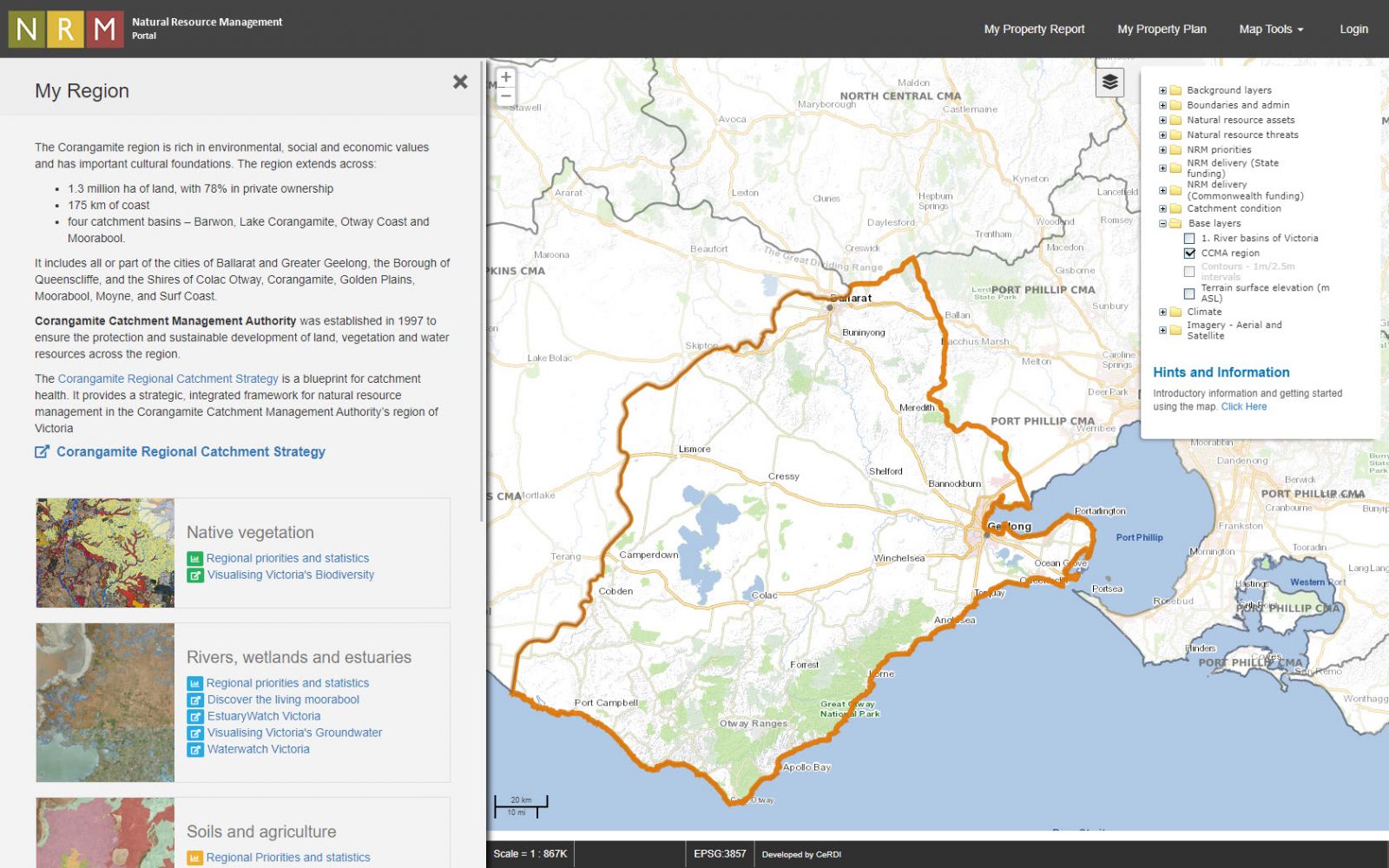 |
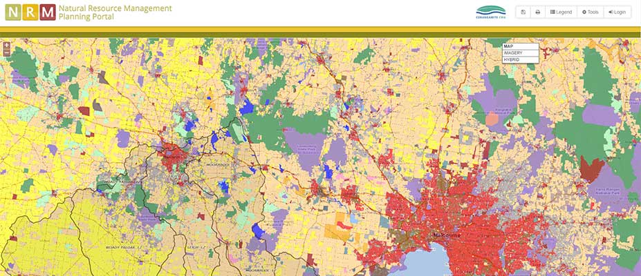
| One of the spatial portals that is a focus of the Spatial Connect project is the: Natural Resource Management Portal |
The online elements will enable specific targeting to maximise educational opportunities for those who currently have limited potential for online access as it has not previously been an embedded part of the curriculum. These students have been found to be at a disadvantage in pursuing opportunities outside of the classroom setting, often as a result of socio-economic constraints which limit their capacity to access technology. It will also increase educational opportunities for those in rural and regional locations, particularly given the increased broadband access via the National Broadband Network.
The project will build skills in the application of spatial technology, mapping, and the use of big data within the context of contemporary issues. The use of comprehensive, up-to-date, real-world knowledge resources will enable students to build their understanding of industry, social, community and environmental issues. Crowdsourcing and citizen science capabilities will ensure the bridging of the theory-practice link. The Spatial Connect project focuses on the geography and science curriculums thereby capturing a strong science, technology, engineering, and maths (STEM) focus.
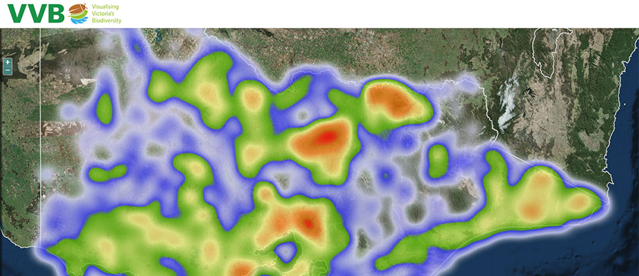
Access to sophisticated digital technologies (applying visualisation, data federation and interoperability) will allow students to gain new knowledge and skills through the use of real-world applications developed in collaboration with the scientific community, industry, and government. Spatial Connect knowledge partners will include Grains Research and Development Corporation (GRDC), Landcare networks, environmental scientists, hydrogeologists, water authorities, Waterwatch, EstuaryWatch, local government, natural disaster planning and recovery initiatives in areas including fires, landslides, floods and climate change, State Wide Integrated Flora and Fauna Teams, and Visualising Victoria’s Biodiversity.
-

LEARNING RESOURCES
The Spatial Connect activities and answer sheets are listed below. To download any of these learning resources, scroll down to the 'Activities' or the 'Answers' sections below, then click-on (select) the learning activity that you would like to download to begin the download process.
ActivitiesDownload the Spatial Connect learning activities below:
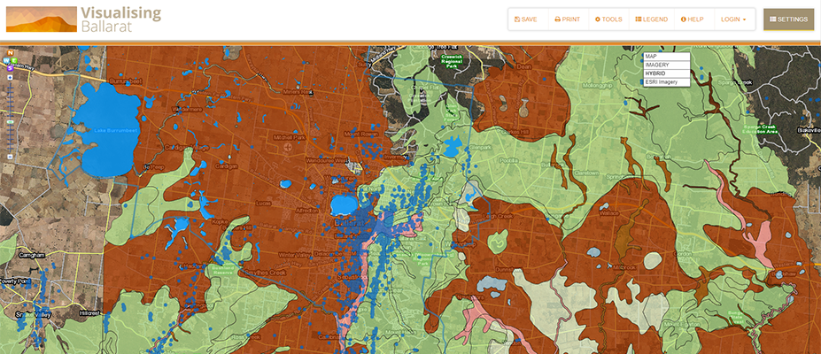
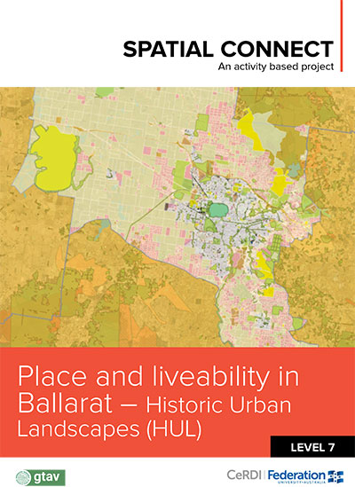
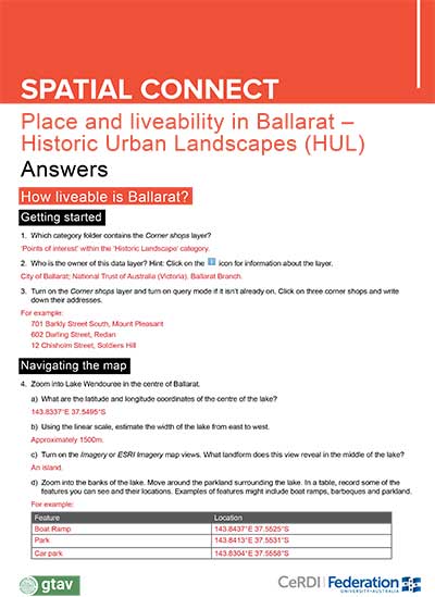
Place and liveability in Ballarat - Historic Urban Landscapes (HUL)
Level:
Victorian Curriculum: Level 7 Geography, Place and Liveability
Australian Curriculum: Level 7 Geography, Place and Liveability
Aims:
1. Interpret data in a visual form using a Geographical Information System (GIS) and develop appropriate conclusions.
2. Assess the liveability of Ballarat using a variety of appropriate criteria.
Time:
2-5 lessons.
Teachers are encouraged to choose which activities to use with their classes.
Download
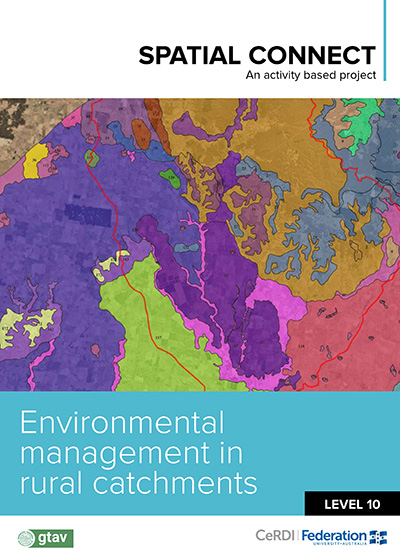
1.24 MBEnvironmental management in rural catchments
Level:
Victorian Curriculum: Level 10 Geography, Environmental change, and management
Australian Curriculum: Level 10 Geography, Environmental change, and management
Aims:
Students will:
1. learn how to use a Geographical Information System (GIS) to gather, manipulate and analyse spatial data to develop appropriate conclusions
2. explore the various environmental management projects undertaken by local scale catchment management groups.
Time:
2-5 lessons
Teachers are encouraged to choose which activities to use with their classes.
Download
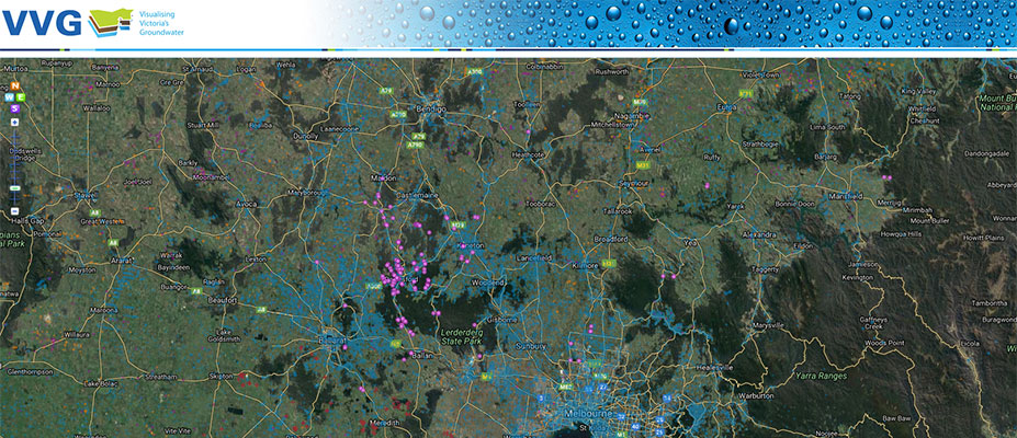
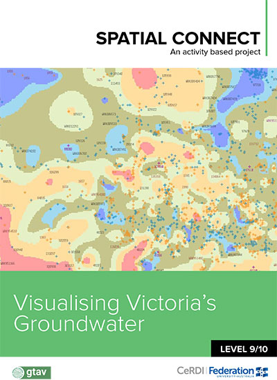
1.45 MBVisualising Victoria's Groundwater
Level:
Victorian Curriculum: Level 9/10
Australian Curriculum: Year 10
Aims:
To promote understanding of the natural and human dimensions of groundwater through the use of spatial technology in a real-world context.
Lessons required:
3-4 lessons
Download
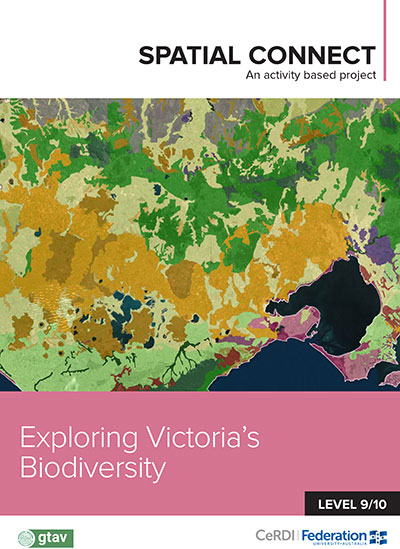
1.88 MBExploring Victoria's Biodiversity
Level:
9/10
Aims:
Students will:
- understand the distribution and diversity of Victoria’s flora and fauna
- relate a variety of environmental factors to determine the presence and diversity of species
- appreciate that the application of a Geographic Information System (GIS) can be useful for scientific research.
Lessons required:
3-4 lessons.
Download
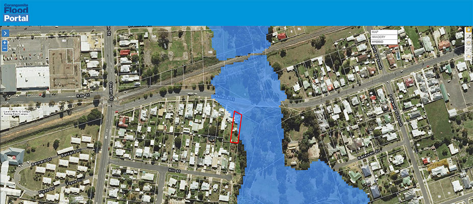
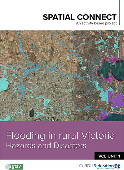
1.25 MBFlooding in Rural Victoria, Hazards, and Disasters
Level:
VCE Geography Unit 1: Hazards and disasters
Aims:
1. Appropriately employ a spatial technology (GIS) in Geography.
2. Interpret data in a visual and numerical form, provided via a Geographic Information System (GIS).
3. Use a range of geographic skills, including observation, map and data interpretation and analysis, to investigate a flooding hazard and relate this to real-world examples and situations.
4. To use GIS-based flood modelling data to predict and visualise the likely impact of a 1 in 100-year (1%) flood on locations in a catchment on properties.
Lessons required:
2-3 lessons.
Download
3.01 MB
AnswersDownload the Spatial Connect learning activity answers below:
-

NEWS
CeRDI news snippets - Autumn 2018
Spatial Connect: Spatial Connect is a collaborative project established in partnership with the Geography Teachers Association of Victoria. Continue reading...
Collier charitable Fund success - 2 February 2018
Two CeRDI projects - Spatial Connect and the Wimmera Information Portal - have recently received funding from the Collier Charitable Fund.... Continue reading...
Spatial Connect - Winter 2017
Spatial Connect is a project established through collaboration between CeRDI and the Geography Teachers Association of Victoria Inc. (GTAV). Continue reading...
