


FedUni Spatial
Our spatial research showcases the diverse range of projects that Federation University Australia is supporting through the team at CeRDI. Projects are at various stages of their evolution but share common goals to inform ‘big picture’ understanding and enhance decision making, create greater efficiencies in communication, increase the quality of information and support policy formulation and evaluation.
Featured
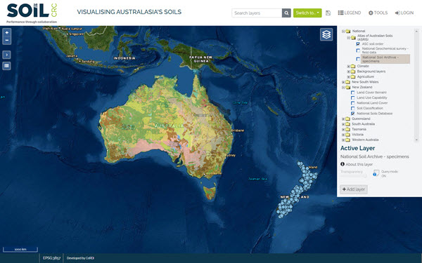
Visualising Australasia’s Soils
A place to discover and share soils information, activities and research from Australia and New Zealand. VAS brings together (federates) soil related datasets and information created and managed by government agencies and organisations, industry groups, community groups and individuals.
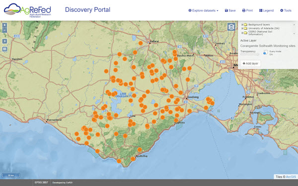
Agricultural Research Federation (AgReFed)
AgReFed is a co-operative of Data Provider Communities with the shared vision: "To enable FAIR Agricultural data to accelerate innovation in and increase profitability and sustainability of Australian Agriculture".
Spatial Solutions by Category
Groundwater
Visualising Victoria's Groundwater provides a central site for accessing Victoria's groundwater information. VVG consolidates data from multiple authoritative sources, includes 2D and 3D visualisations, hydrogeological models and historical records and maps.
Agriculture
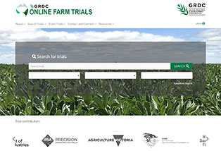
Online Farm Trials is an exciting initiative that brings nationwide grains research information directly to the grower, agronomist, researcher and the wider grain industry through innovative online technology.
Citizen science
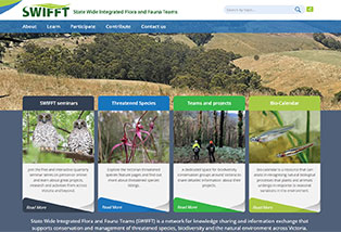
State Wide Integrated Flora and Fauna Teams are advancing citizen science by facilitating awareness, information and knowledge sharing across Victoria and south-eastern Australia.
Regional Planning
UNESCO’s Historic Urban Landscapes (HUL) approach is providing Ballarat with a new approach to dealing with change. The goals is help shape our future while acknowledging what is distinctive and valued about our past and present.
Catchment Knowledge
The Corangamite Knowledge Base is an extensive collection of publications, technical reports and spatial information on all aspects of the Corangamite Catchment Authority region.
Soil Health
The Soil Health Knowledge Base includes reports, research papers, maps and descriptions related to current and past soil series mapping, land capability and suitability assessments, agricultural trials, and soil research and investigations.
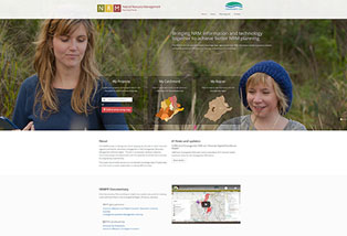
Natural Resource Management (NRM) Portal
The NRM Portal enables Landcare networks and their Catchment Management Authority partners to share information about past works and projects and to come up with joint priorities which have the best potential for funding.
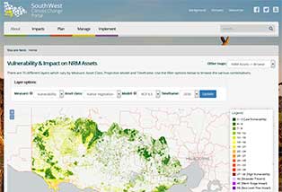
Climate Change
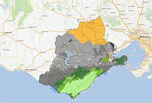
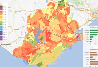
The South West Climate Change portal provides regionally specific climate change information to support NRM planners, land managers and community groups adapt to a changing climate.
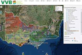
Biodiversity
Visualising Victoria's Biodiversity provides a central site for accessing Victoria's environmental information. VVB brings together existing environmental datasets and information created and managed by government agencies, organisations, community groups and individuals. VVB is a partner site to SWIFFT.
Spatial Solutions by Project
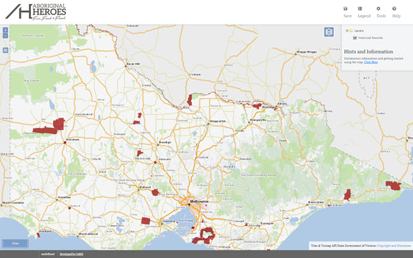
Aboriginal Heroes of Fire, Food and Flood
The project has uncovered over 100 reports of Aboriginal people saving non-Aboriginal people from bushfire, drowning and the tracking of lost people and their livestock in the period 1800 - 1930.
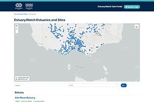
EstuaryWatch
EstuaryWatch is a successful citizen science program that supports community members to actively participate in the monitoring of estuary health.
Forecasts for Profit
This applied Research Development and Extension project will work with the grains industry to improve the way we can communicate and use imperfect, though improving, seasonal climate forecast information.
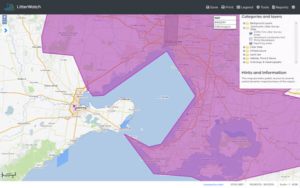
Litter Watch Victoria
The LitterWatch mapping portal brings together data to provide a snapshot of litter monitoring.
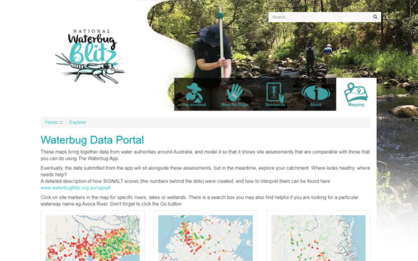
National Waterbug Blitz
The National Waterbug Blitz is Australia’s first nationwide citizen science, waterway monitoring event. Citizen scientists will uncover clues for assessing the health of their local waterways and wetlands by exploring and identifying the waterbugs that live in them.
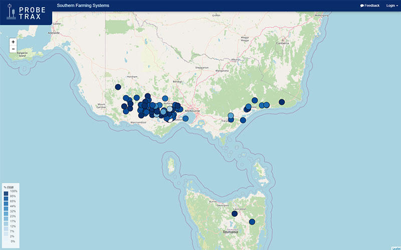
ProbeTrax
The Southern Farming Systems (SFS) soil probe network portal (ProbeTrax) has been established to monitor and assess soil temperature and moisture conditions from 62 soil probes which have been installed across the major soil types of the high rainfall zones of Victoria and Tasmania.
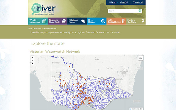
River Detectives
River Detectives is an exciting education initiative of Catchment Management Authorities (CMA’s) inspiring teachers and students to understand, appreciate and care for their local waterway through engaging, cross-curricular, citizen-science activities.
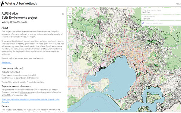
Valuing Urban Wetlands
Urban wetlands are important biodiversity refuges. They contribute to healthy "green spaces" in cities, as well providing habitat for flora and fauna, maintaining water quality, and helping with flood regulation.
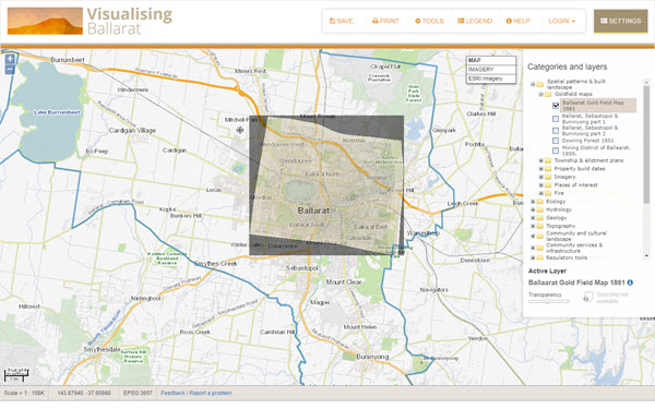
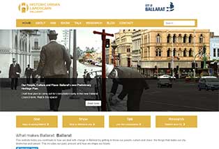
Visualising Ballarat
Visualising Ballarat is a mechanism for knowledge building and for planning, enabling end users to directly access complex data sets from a single point of access and to participate in the localised knowledge building process. The data sets available include data relating to historic landscapes, trees, parks, views, and landmarks, natural landscapes, geology, services and infrastructure, boundaries and regulatory tools.
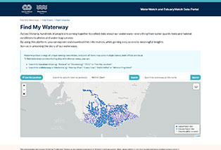
Waterwatch Victoria
Waterwatch Victoria is a successful community engagement program connecting local communities with river health and sustainable water issues and management since 1993.
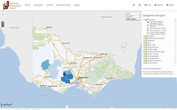
Wimmera Information Portal
The Wimmera Information Portal (WIP) is a collaboration between the social, health and community services arenas within the Wimmera region to help address systemic disadvantage.
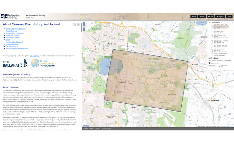
Yarrowee River History: From Peel to Prest
A web portal to map key points of cultural and historical interest along the Yarrowee River, Ballarat, Victoria, Australia.
Demonstration Sites
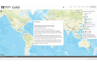
Forest Birds
The Bool Boola data collection was undertaken as part of a PhD study and assessed differences in avian biodiversity across different forest age-classes, including mature stands (> 100 years), in a managed, mixed-species eucalypt forest located in Gippsland.

Historical Maps
The Eureka Stockade: An Interactive History portal contains historical overlays and points of interest in the Ballarat area around the time of the Eureka Stockade. This dynamic map is an interactive spatial interface to the underlying information.
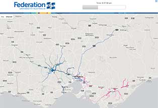
FedUni Commute
A visualisation to illustrate the commute patterns of Federation University staff. This visualisation was developed to support planning around telecommuting and environmental impact assessments associated with staff commuting.